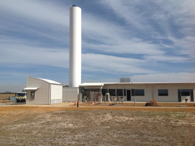
Coastal radar upgrade commences to make WA’s weather monitoring service the nation’s best

Works have commenced to upgrade the State’s coastal radar network to Doppler capability, which will make Western Australia home to the nation’s best weather monitoring service.
The WA Government has funded the $4.6 million upgrade to the Bureau of Meteorology's (BoM) Albany and Geraldton facilities, adding to the State’s Doppler radar installations at Newdegate, Watheroo and South Doodlakine.
WA’s agricultural region will have almost complete Doppler radar coverage when the upgrade is finished and the BoM completes its planned Esperance Doppler installation in 2020.
Doppler radar benefits
The Albany and Geraldton upgrades mark the introduction of a new generation of Doppler radar technology, the first of its kind to be installed in Australia.
The dual-polarimetry technology provides opportunities to extend the range of high quality observations from a 120 kilometre radius up to 150km over a 24 hour period.
The new Doppler radars will provide more accurate and detailed real time weather data, including rainfall intensity, as well as wind speed and direction, updated every six minutes on the BoM and Department of Primary Industries and Regional Development (DPIRD) websites.
The technology will allow for better observations of where rain is falling, how heavy, and accumulations over a square kilometre. This will enable landholders to make more informed crop, livestock, and land management decisions, based on more reliable, higher resolution information, when combined with free online data from DPIRD’s network of 175 automated weather stations and BoM’s network of 85 sites.
The Doppler radar information will assist landholders to optimise the time of sowing, spray applications, harvest options, and movement of livestock. As rural properties become increasingly large, this information will become more vital, because weather conditions can vary significantly across landholdings.
The improved service will also provide aviation safety and emergency services with more detailed weather information to better assess conditions to support responses to storms, bushfires, and land and sea rescues.
Alternative data sources during upgrade
The Albany Doppler radar is expected to return to full service in mid-May, and the Geraldton radar is scheduled to return to service in mid-June. While the services are offline, landholders and other stakeholders can still access timely weather observations and forecasts covered by the radars.
Real time wind and rainfall data will be available via DPIRD’s online weather pages, as well as BoM’s MetEye , Satellite View and Observations webpages.
BoM also has Doppler radars at Serpentine and Kalgoorlie, and some residents on the edge of affected areas may be able to use radar images from DPIRD’s Newdegate and Watheroo Doppler radars.
DPIRD’s weather pages have recently been updated to make it easier to navigate and tailor information to the user’s requirements, assisted by a series of instruction videos.
The department has a range of climate and weather information to assist landholders, including rainfall to date, soil water, potential yield, and extreme weather event tools, as well as the latest Statistical Seasonal Forecast. For more information, click here.
